Destination Details
- To Sikkim
- Nathula Pass

Explore Nathula Pass
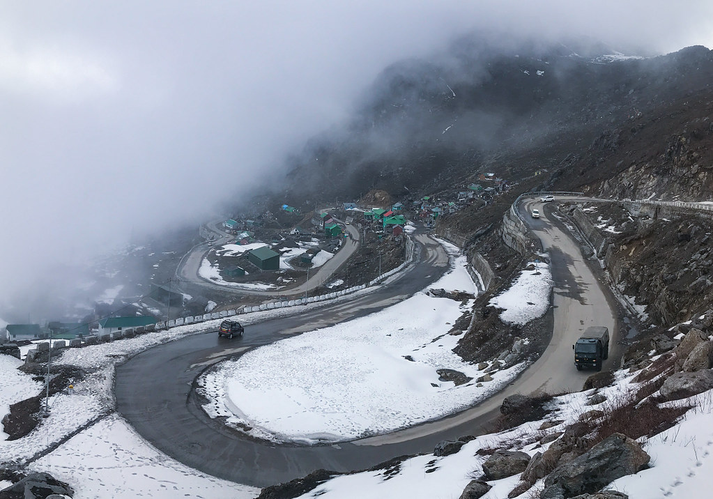
Perched at an elevation of 4,310 meters (14,140 feet) above sea level, Nathula Pass is stood as a sentinel on the rugged frontier between India and China in the Eastern Himalayas. As a crucial trade route between India and Tibet until its closure in 1962, this historic pass, part of the ancient Silk Road, was reopened in 2006, symbolizing a new era of trade and bilateral relations that are being fostered between India and China.
The journey to Nathula Pass is characterized by its mesmerizing route, starting from Gangtok, the capital city of Sikkim. The route is known for winding through rugged terrain, alpine forests, and along the banks of the Tsomgo Lake, also known as Changu Lake. This glacial lake, situated at an altitude of 3,753 meters (12,313 feet), is marveled at by visitors for its crystal-clear waters reflecting the surrounding peaks.
Overview
-
Elevation
1,650 meters (5,410 feet)
-
Summer Climate
15°C to 25°C (59°F to 77°F)
-
Winter Climate
4°C to 7°C (39°F to 45°F)
-
Nearest Airport
USD
-
Nearest Railway Station
88.000 km3
Adventure Activities
The surrounding region of Gangtok offers opportunities for adventure enthusiasts. Trekking, river rafting, paragliding, and mountain biking are among the activities available for thrill-seekers.
Do you offer discounts or promotions?
There are many variations of passages of available but majority have alteration in some by inject humour or random words. Lorem ipsum dolor sit amet, error insolens reprimique no quo, ea pri verterem phaedr vel ea iisque aliquam.
- Free Drinks
- Awesome Breakfast
- 5 Star Accommodation
Do you offer free plans for your tours?
There are many variations of passages of available but majority have alteration in some by inject humour or random words. Lorem ipsum dolor sit amet, error insolens reprimique no quo, ea pri verterem phaedr vel ea iisque aliquam.
- Free Drinks
- Awesome Breakfast
- 5 Star Accommodation
Tour Packages


30%
Discount on Thailand Tour


